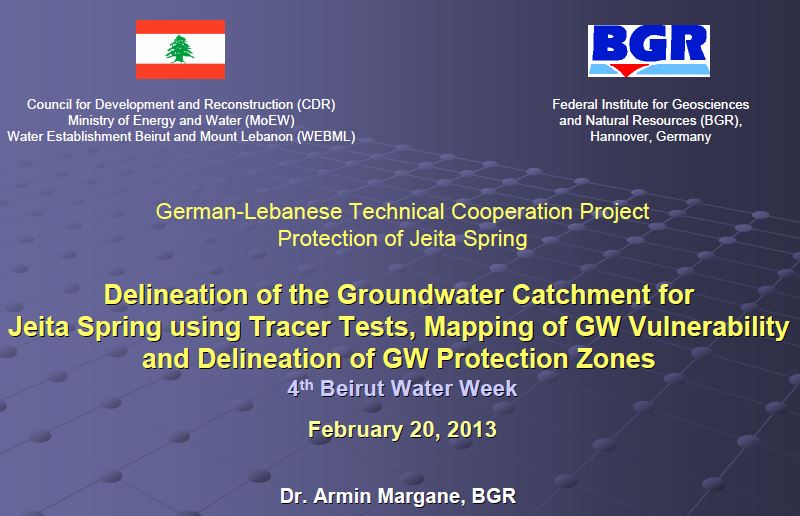
Delineation of the Groundwater Catchment for Jeita Spring using Tracer Tests, Mapping of GW Vulnerability and Delineation of GW Protection Zones
 |
Délimitation du bassin versant des eaux souterraines de la source de Jeita à l'aide de tests de traçage, cartographie de la vulnérabilité de GW et délimitation des zones de protection de GW
slide show powerpoint Feb 2013 ; 33 pages
Ed. BGR - Rayfoun
Downloadable format: PdF
Sommaire:
• Projet - Tâches
• Description de la zone du projet
• Activités de projet liées aux zones de protection
- Délimitation du bassin versant GW
- Carte de vulnérabilité GW
- Zones de protection GW Contents:
• Project - Tasks
• Description of Project Area
• Project Activities related to Protection Zones
- Delineation of GW Catchment
- GW Vulnerability Map
- GW Protection Zones
Target Audience:
Country: |
Publisher/Broadcaster: |
|
BGR
-
Institut Fédéral Allemand des Géosciences et des Ressources Naturelles - Rayfoun - Lebanon |
If there is a broken link, we will be pleased to receive a message: communication@pseau.org