Irrigation in the Middle East region in figures
 |
الري في اقليم الشرق الأوسط بالأرقام
report Jan 2008 ; 16 pages
Ed. FAO - Rome
Downloadable format: PdF
Downloadable from the publisher
Editor Presentation
Abstract:
This AQUASTAT report presents the most recent information available on water availability and its use in the 18 countries and territories in the Middle East region, with an emphasis on agricultural water use and management. It contains the relevant tables and maps, and a regional synopsis emphasizing the subregional characteristics of this large and diverse region. It also analyses the changes that have occurred since the first survey in 1997. Finally it gives a more detailed description of four transboundary river basins in the region, highlighting the different levels of cooperation and the agreements between countries located in the same river basin: the EuphratesTigris River Basin, the KuraAraks River Basin, the AsiOrontes River Basin and the Jordan River Basin. Contents:
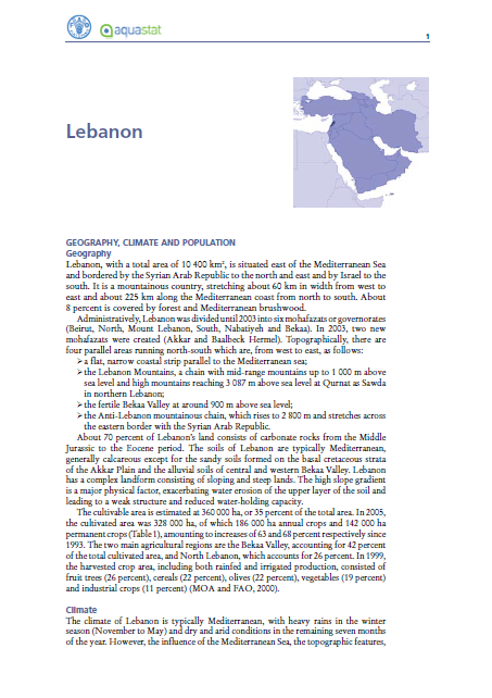
1. Geography, climate and population
2. Economy, agriculture and food security
3. Water resources and use
4. International water issues
5. Irrigation and drainage development
* Evolution of irrigation development
* Role of irrigation in agricultural production, economy and society
* Status and evolution of drainage systems
6. Water management, policies and legislation related to water use in agriculture
* Institutions
* Water management
* Finances
* Policies and legislation
7. Environment and health
8. Prospects for agricultural water management
Target Audience:
Keywords: |
hydro-agricultural facilities (CI) (DT) (ET) (ope) , irrigation (CI) (DT) (ET) (ope) |
Country: |
Publisher/Broadcaster: |
|
FAO
-
Food and Agriculture Organization - Rome - Italy |
If there is a broken link, we will be pleased to receive a message: communication@pseau.org