Des outils de SIG et de cartographie pour les infrastructures d'eau et d'assainissement
 |
GIS & mapping tools for water and sanitation infrastructure
note coll. Practice Note n° 3 May 2011 ; 2 pages
Ed. WSUP - London
Téléchargeable sous format: PdF
Téléchargeable chez l'éditeur
Page de présentation d'un éditeur
Résumé:
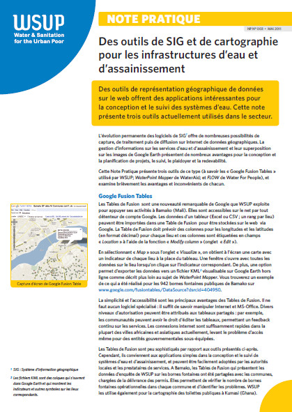
Des outils de représentation géographique de données sur le web offrent des applications intéressantes pour la conception et le suivi des systèmes deau. Cette note présente trois outils actuellement utilisés dans le secteur. Abstract:
Recently developed tools that enable web-based geographical representation of data have exciting applications in the design and monitoring of WASH systems. This Practice Note introduces three tools of this type and briefly discusses the advantages and disadvantages of each.
Public-Cible:
Mots clefs: |
SIG - Système d'information géographique (CI) (DT) (OP) (ope) , technologie (CI) (DT) (OP) (ope) |
Editeur/Diffuseur: |
|
WSUP
-
Water and Sanitation for the Urban Population - London - Royaume Uni |
En cas de lien brisé, nous le mentionner à communication@pseau.org