Africa Water Atlas: Diaporama
 |
map , slide show powerpoint Oct 2010 ; 71 pages
Ed. UNEP - Nairobi
Downloadable format: Diaporama powerpoint (49 770 ko)
Downloadable from the publisher
 Atlas de lEau en Afrique: Résumé pour les décideurs
Africa Water Atlas
Abstract:
Atlas de lEau en Afrique: Résumé pour les décideurs
Africa Water Atlas
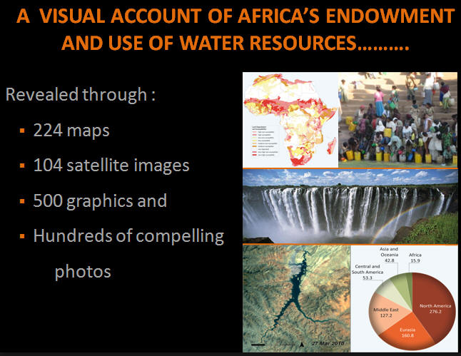
Abstract:The Africa Water Atlas features over 224 maps and 104 satellite images as well as some 500 graphics and hundreds of compelling photos.
The publication makes a major contribution to the state of knowledge about water in Africa by bringing together information about water issues in each country and summarizing the state of their progress towards the MDG water targets, synthesizing water issues by looking at them from the perspective of challenges and opportunities and providing distinctive profiles of transboundary water basins and country.
Keywords: |
access to water (CI) (DT) (ET) (ope) , Africa (CI) (DT) (ET) (ope) , river basin (CI) (DT) (ET) (ope) |
Publisher/Broadcaster: |
|
UNEP
-
United Nations Environment Programme - Nairobi - Kenya |
If there is a broken link, we will be pleased to receive a message: communication@pseau.org